All work
Pretende map
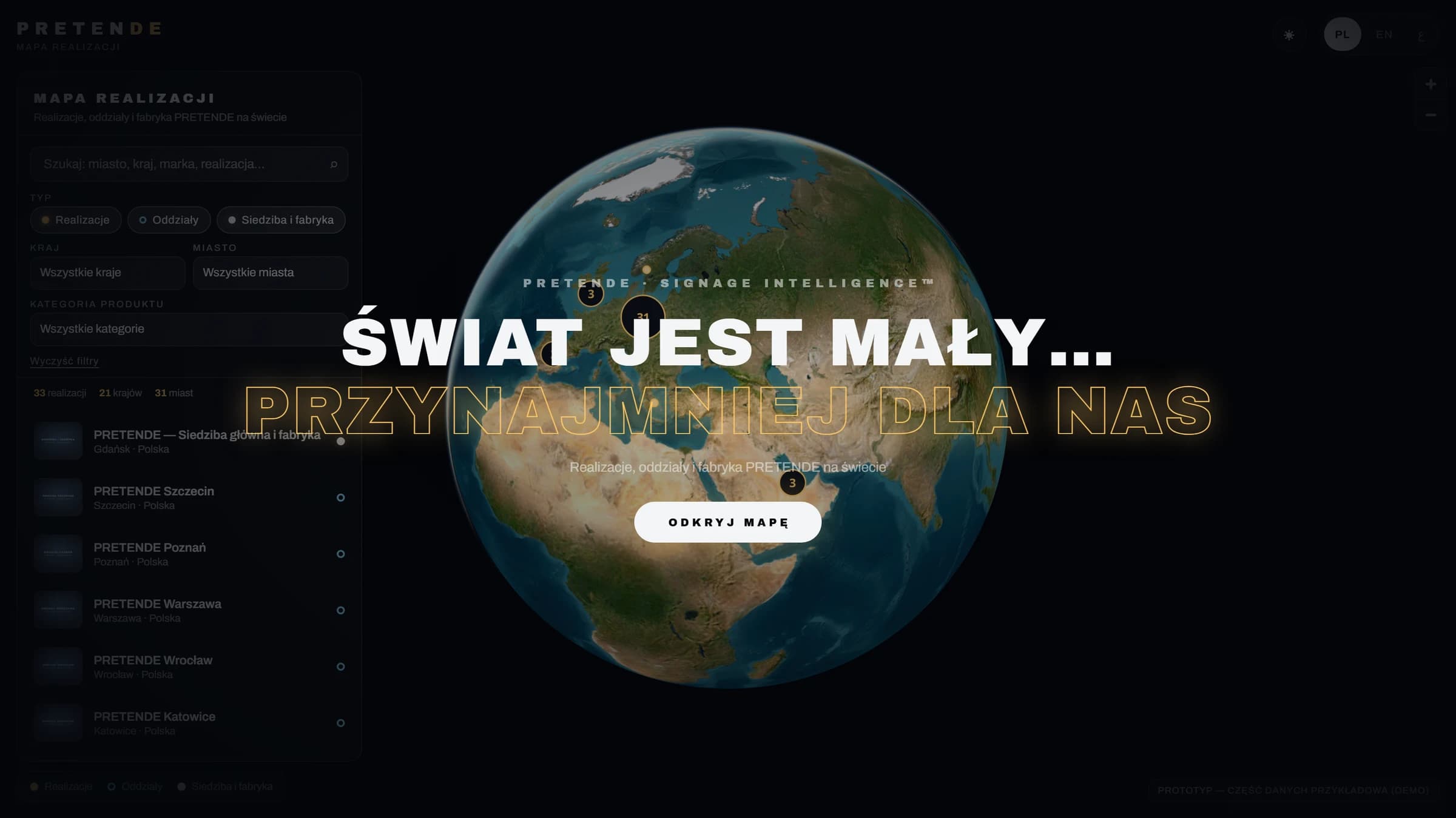
An interactive map of the company's projects and locations. It lets you browse projects on a globe, search and filter them.
Prototype. Part of the data on the map is sample data.
- My part
- information structure, interaction, visual direction
- Technology
- JavaScript, MapLibre GL, WebGL
The task
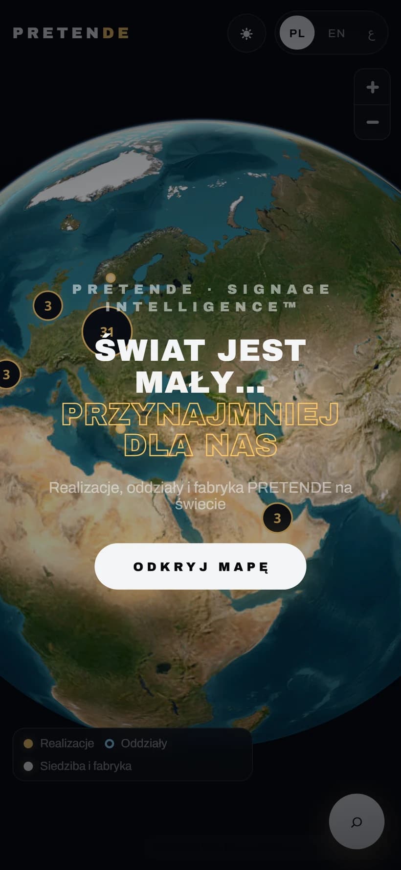
A signage manufacturer with projects on several continents wanted to show the scale of its work in one view instead of a list of references. The prototype tests how such a map works in the browser and on the phone.
Design decisions
- A globe instead of a flat map, because the scale of the company is the sales argument here.
- Three data layers: projects, branches, headquarters and factory, with filters by country, city and product category.
- A night mode and three languages (Polish, English, Arabic) from the first version.
What was built
- Prototype with search, filters and grouping of nearby points on the map
- Project detail panel
- Prototype and sample-data notice in the interface